Introduction
Welcome to the first instalment of Open Data Discovery! In this series, I want to highlight different sources of Open Data that can be used in geographic analysis. It is not always easy to find data for your next mapping project, but there are so many incredible datasets out there. We live in an age of incredible access to data, and as GIS practitioners, it is our job to bring those hidden (and not so hidden) gems to light. This series aims to showcase an open data source or dataset, walk through an analysis workflow using that data, and display the results.
Data
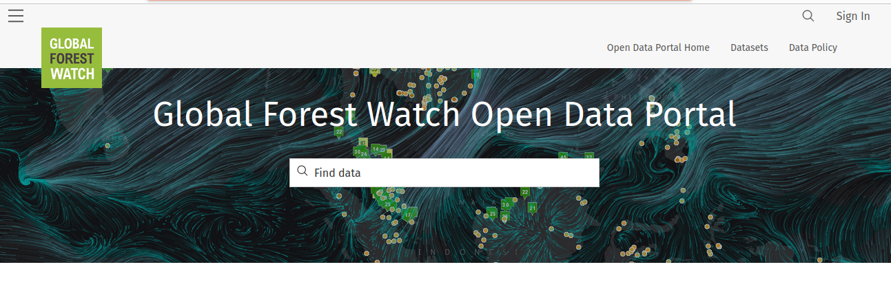
For the first discovery, I wanted to share the Open Data site from Global Forest Watch. I came across this data source when doing research for my blog post on Drummond Mining Co’s coal operations in Colombia. The Open Data site uses Esri’s ArcGIS Hub technology to organize and share their data catalogues. I was very impressed with both the amount of geographic data and the range of datasets. I have listed a few examples below
–Canada Forest Tenures
–Panama Comarcas
–Various mining rights layers for different countries
To carry on with the Colombia mining theme, I decided to use the Colombian Mining Titles layer for my analysis. I want to know how much of Colombia’s forested land sits under the jurisdiction of current mining titles.
For my analysis, in the spirit of open data, I will be using QGIS. A land cover dataset for Colombia is also required, which I found here:
Food and Agriculture Organization of the United Nations
https://data.apps.fao.org/catalog/iso/1ccaab46-435a-407d-85e9-2848036336b9
Workflow
In order to determine how much of Colombia’s forested areas are under mining titles, our goal is to create a layer from our land cover data of just Colombia’s forests, and then clip that layer to the mining titles. We can then determine which percentage of the total forested area is under mining title.
Step 1: Create forest layer from the land cover shapefile. Using the metadata on the FAO-UN website/ we can select out all of the features where the GRIDCODE field corresponds to a forest area. Then we can export this selection out to a new forestcover layer.
Step 2: In order prepare our data for an area analysis/we need to reproject the data to an equal-area projection like the World Sinusoidal Projection. Both the mining title layer and the forestcover layer were projected using the Reproject layer tool.
Step 3: Ensure the geometries are valid by running the Fix geometries tool.
Step 4: Dissolve the mining titles to simplify the clipping process later on using the Dissolve tool.
Step 5: Build spatial indexes on the two layers using Create spatial index to increase clipping performance.
Step 6: Use the Clip tool to clip the forestcover layer to the mining titles layer:
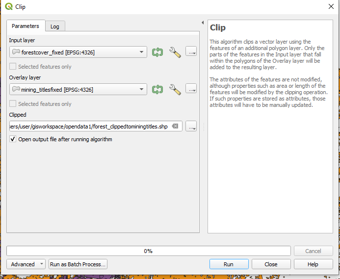
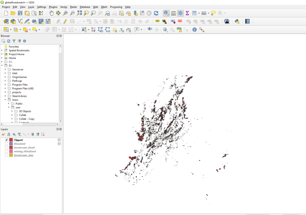
Step 7: Use Add geometry attributes to add re-calculated shape field to the Clipped forest layer.
Step 8: Use Basic statistics for fields on the shape field for both the Clipped forest layer and the original forest layer. This generates an html file of field statistics.
Analysis
The sum of forest area for all of Colombia is:
761266208430.8893 Sq/m (761266.20 Sq/km)
The sum of forest area under mining titles is:
39734378875.65231 Sq/m (39734.37 Sq/km)
The total percentage of forest area under mining titles is 5.2% (39734.37/761266.20).
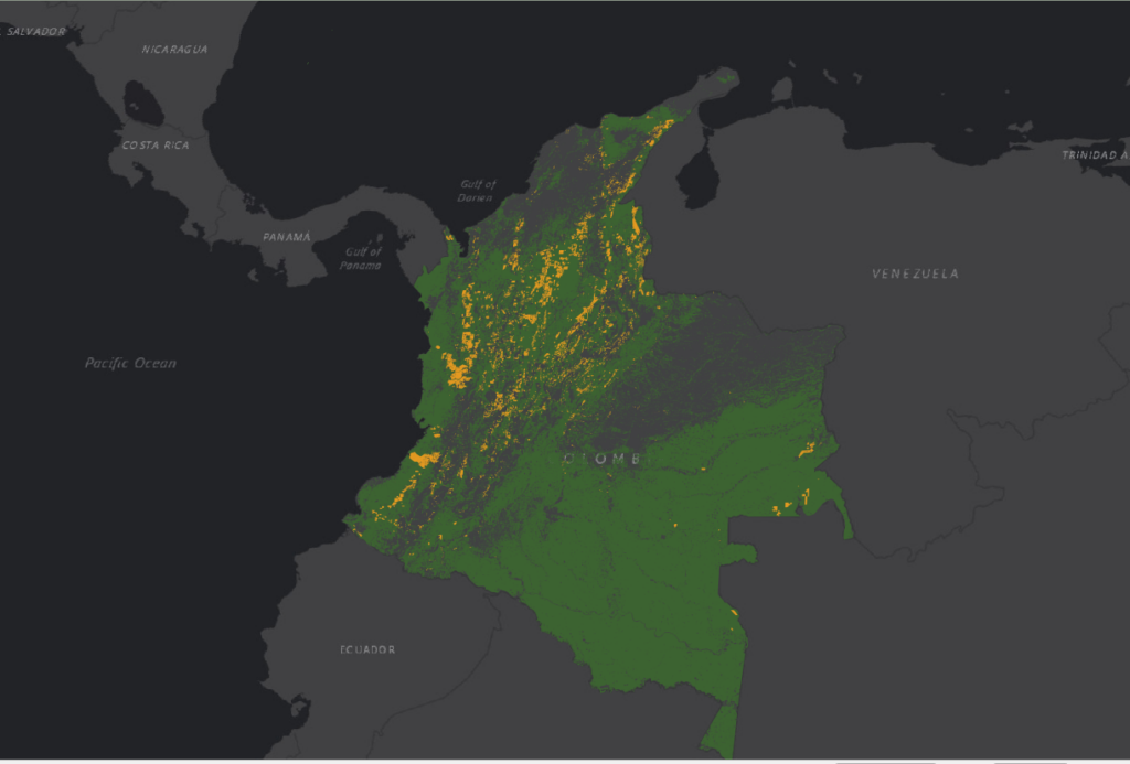
As shown in the above image/ the south-east section of the country is largely not touched by mining rights.
Conclusion
The Global Forest Watch Open Data site provides a wide variety of data that can be used in geographic analysis. Using their data/we were able to uncover actionable information through processing in QGIS. Head over to their Open Data site to explore more.
