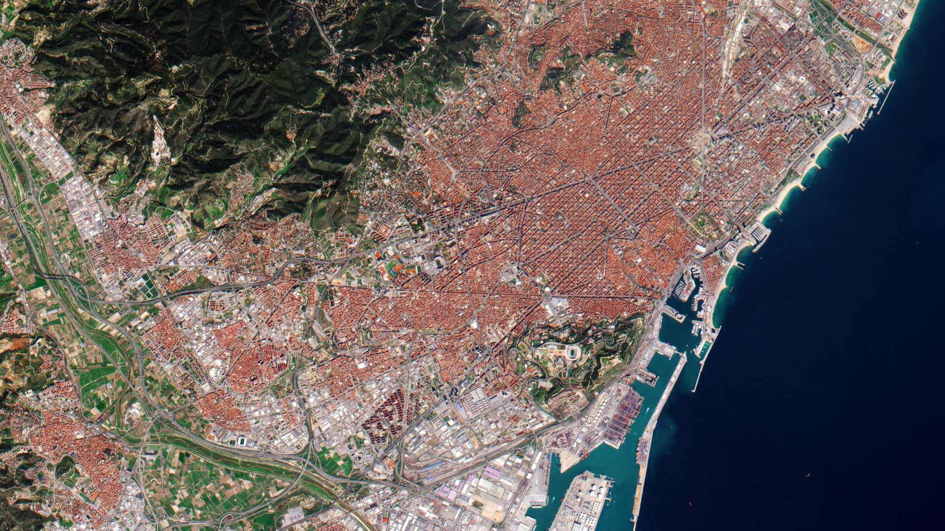
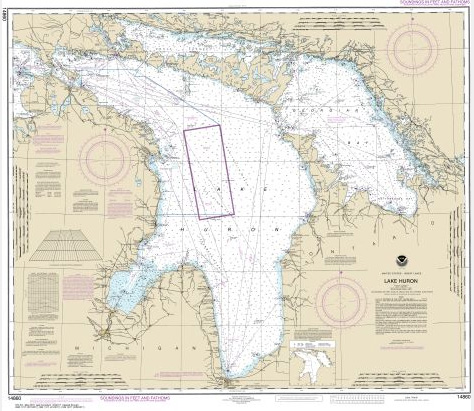
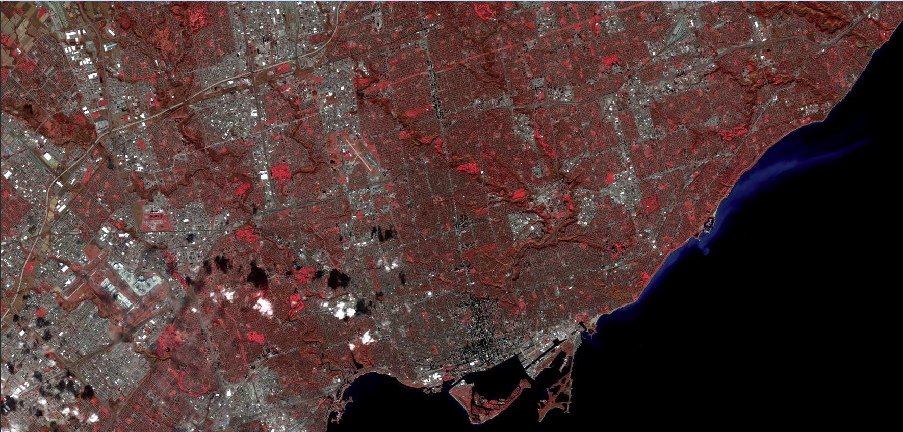
I have always wondered about the cost of high-resolution satellite imagery. We see satellite imagery being used more and more in news articles, and with more vendors entering the market, I thought that the cost of imagery for independent analysis would likely not be unreasonable. It looks like I may have underestimated the cost significantly.
Due to my work, I search Google a lot for research. Because of this, I receive Apollo Mapping ads. Apollo Mapping makes finding and accessing satellite imagery relatively easy. Using their Image Hunter application you can easily search for imagery within a specified extent. The image results are returned with information on spatial resolution/ sensor type/ and cloud cover. You can request a quote directly within the application and the response time from their sales team was within an hour. The cost structure is based on a price per square kilometre and the image is delivered clipped to your specified extent. For the Pleiades image I was interested in/ the cost was $18.50 USD per square kilometre. For my 28 sq/km extent/ this came out to $518.00 USD.
This is far too much for my independent analysis and I will need to look else where. Luckily I should be able to use Sentinel-2 Imagery for free and the 10-meter spatial resolution should suffice. Stay tuned for more on how to access and use Sentinel-2 Imagery.


