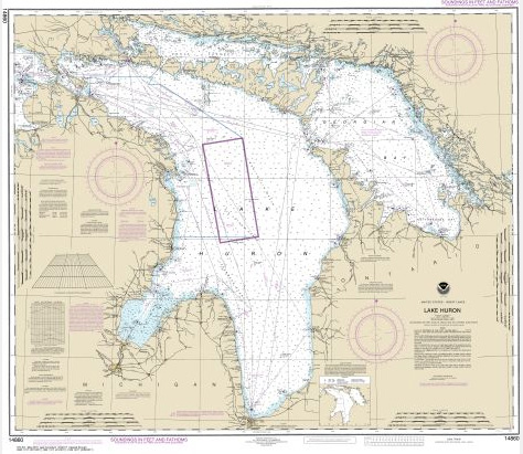
I am excited to announce the launch of my GIS and Geography blog! I am interested in sharing cool datasets, technical skills, and maps of course! My first exposure to maps were the nautical charts we used when sailing in the North Channel in Lake Huron. I currently work for Esri Canada as an Enterprise Support Consultant. I am interested in the humanitarian uses of GIS as well as the more technical side of things. Feel free to shoot me an email at admin@ccsgeo.com if you want to get in touch!
Related Posts
Why Does Geographical Awareness Matter?
Explaining what GIS is to people is always a challenge. I usually say it is ‘digital mapping’ to which the typical response is ‘oh like Google Maps’? Despite this being an over-simplification, it is sufficient to get the point across. I may even share a clip from the cult GIS film What We Do In […]
The Cost of Satellite Imagery for Independent Analysis
I have always wondered about the cost of high-resolution satellite imagery. We see satellite imagery being used more and more in news articles, and with more vendors entering the market, I thought that the cost of imagery for independent analysis would likely not be unreasonable. It looks like I may have underestimated the cost significantly. […]